→ ACCES ←
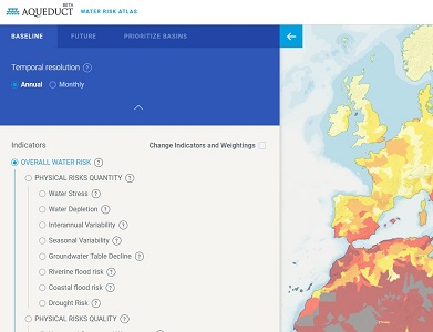
Aqueduct’s global water risk mapping tool helps companies, investors, governments, and other users understand where and how water risks and opportunities are emerging worldwide. The Atlas uses a robust, peer reviewed methodology and the best-available data to create high-resolution, customizable global maps of water risk.
Water scarcity is one of the defining issues of the 21st century. In its Global Risks 2013 report, the World Economic Forum identified water supply crises as one of the highest impact and most likely risks facing the planet. With the support of a diverse group of partners, the World Resources Institute built Aqueduct to help companies, investors, governments, and communities better understand where and how water risks are emerging around the world.
The World Resources Institute is committed to transparency and open data. The data and methodology behind Aqueduct are documented and available for download.

